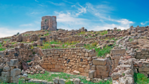
Hiking in Sardinia means choosing between coastal paths that end at hidden coves and mountain trails that climb through some of the wildest terrain in the Mediterranean. The island’s interior, the Supramonte, is a maze of limestone canyons and holm oak forests, while its coastline hides beaches that only a walk can reach. This guide covers the 15 best trails, organized by area, plus the practical details you need before lacing up your boots.
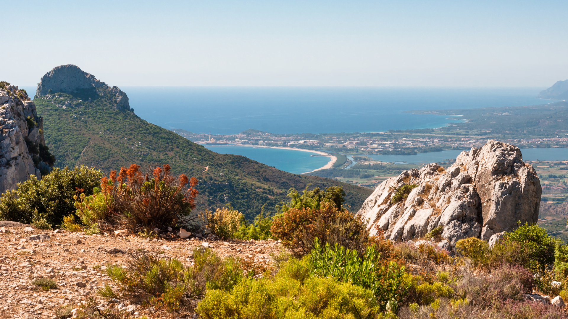
Best hikes in South Sardinia
The south of the island offers the easiest entry point for hikers, with several trails reachable in under an hour from Cagliari. For a broader look at the area beyond hiking, see our guide to South Sardinia.
Sella del Diavolo
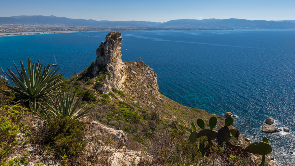
Length: 3 km round trip. Difficulty: easy. Route type: out and back. Starting point: Calamosca beach, Cagliari.
This is probably the most accessible hike on the island. The trail starts right behind Calamosca beach, one of Cagliari’s urban beaches, and climbs to the Devil’s Saddle, a rocky headland with views over the Gulf of Cagliari and Poetto beach. It takes about two hours round trip and the terrain is uneven in places, so proper shoes help even though the walk itself is short. Families do this one regularly, and it works year round: quick enough for winter’s shorter days, short enough that summer heat rarely becomes a problem.
There are no fountains along the way. Bring your own water, buy some at the kiosks near Calamosca beach before you start.
The Roman Road to Su Cordolinu
Length: about 14 km round trip. Difficulty: easy. Route type: out and back. Starting point: Pinus Village, near Chia.
An easy, wide trail that follows an old Roman road along the coast from Pinus Village, about an hour’s drive from Cagliari, out to the small island of Su Cordolinu. Expect around four hours there and back, longer if you stop to eat at the beach. The path is broad enough for bikes, so you will share it with cyclists.
Once you reach Su Cordolinu, a steeper descent leads to a small beach, and at low tide you can walk across to the island itself. No kiosks along the route, so pack food and water for the whole outing.
From Cala Cipolla to Tuerredda
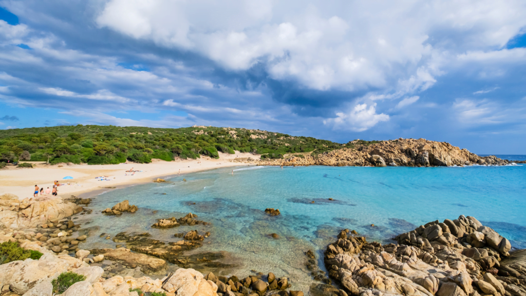
Length: about 18 km if walked round trip. Difficulty: easy to moderate. Route type: point to point, best with two cars. Starting point: Cala Cipolla, near Chia.
An hour’s drive from Cagliari brings you to Cala Cipolla, the starting point of a coastal trail that ends at Tuerredda, one of Sardinia’s best known beaches. Along the way you pass Capo Spartivento, a former lighthouse now converted into a boutique hotel, and two beaches, Pedra Longa and Cala Antoniareddu, that cannot be reached by car.
The trail runs easy to moderate depending on detours, with the climb near the old observatory being the toughest stretch. Since it is not a loop, most hikers either arrange two cars, one at each end, or join a guided walk that includes transport back.
From Masua Pan di Zucchero to Cala Domestica
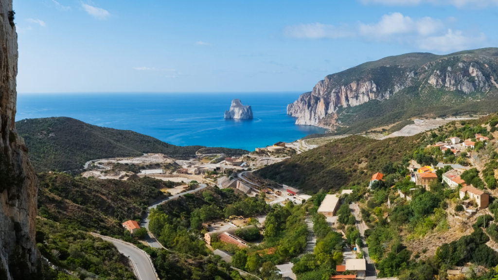
Length: 12 km one way, 24 km if you walk back. Difficulty: challenging. Route type: point to point. Starting point: Masua Pan di Zucchero.
At 12 km one way, this is one of the technical trails on the island. It starts at Masua, near the Pan di Zucchero sea stack, and ends at Cala Domestica, a cove shaped like a small fjord. In parts the path narrows to barely 50 centimeters, running along cliffs through thick Mediterranean scrub.
Because of the terrain and the mining history along the route, many hikers prefer to join a guided group rather than tackle it solo. The area around Nebida and Masua is packed with disused mines from Sardinia’s industrial past, including the striking Porto Flavia, a tunnel cut directly into the cliff to load minerals onto ships, and it is worth setting aside extra time to explore it. Cala Domestica itself sits below a hill topped by a Spanish watchtower, with dunes and the remains of an old mining railway behind the beach. There are no facilities on the trail, so carry everything you need.
Is Cannoneris
Length: about 4 km to the summit of Punta Sebera. Difficulty: easy to moderate. Route type: out and back. Starting point: Is Cannoneris nature reserve.
For something gentler, head to Is Cannoneris, one of the oldest oak forests in Europe, in the southwest close to the border of Sulcis. It stays shaded even in the height of summer, which makes it one of the better family options with children, and there is a real chance of spotting goats or the native Sardinian deer along the way. The reward at the top is the summit of Punta Sebera, at 979 meters, with views stretching over the whole Sulcis region.
Nearby, the waterfalls of Sa Spendula near Villacidro make a good pairing for the same day. The trail there is easy for the first half, then climbs steadily to Monte Margiani at around 900 meters, with a swim beneath the falls as the reward at the end, water levels permitting, since the flow drops noticeably by late summer.
Best hikes in Central Sardinia
Central Sardinia, and specifically the Supramonte massif, is where the island’s hiking reputation is built. This is the heart of the region we cover in our guide to Central Sardinia, and expect deeper canyons, longer approaches, and trails that genuinely reward a full day.
Gorropu Canyon
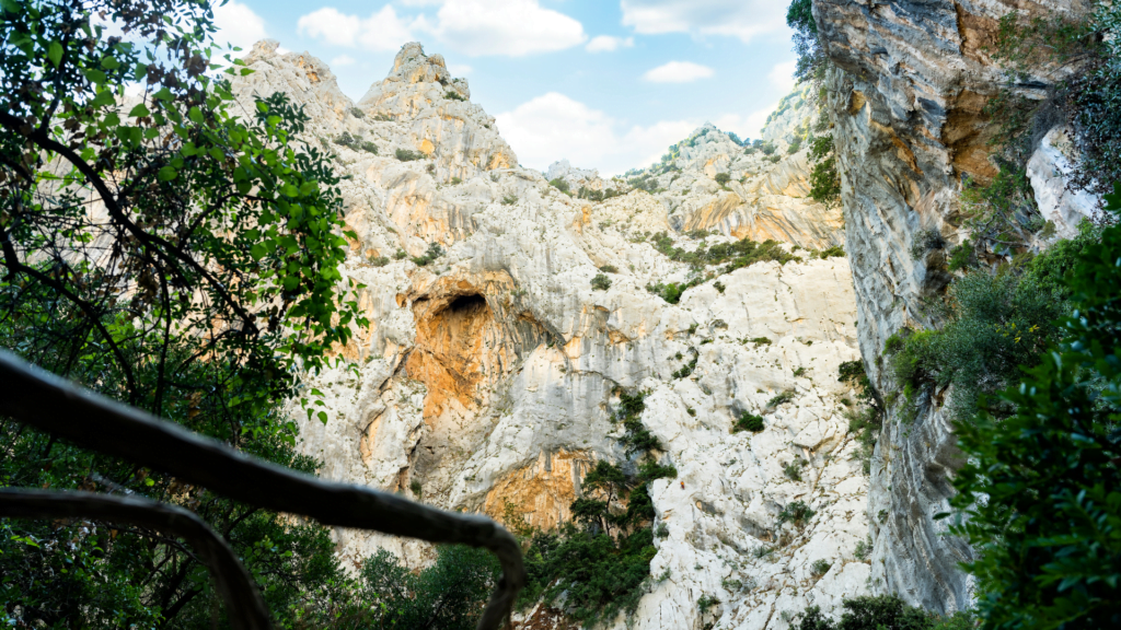
Length: 8 to 14 km round trip depending on the approach. Difficulty: challenging. Route type: out and back. Starting point: Genna ‘e Silana pass or Rifugio Gorroppu, near Dorgali.
Gorropu is often described as one of the deepest canyons in Europe, and walking through it makes that claim believable. There are two main approaches: the steeper trail from Genna ‘e Silana pass, and the gentler one starting near Dorgali at the Rifugio Gorroppu parking area. Both take between six and eight hours round trip depending on pace.
There is a small entrance fee once you reach the canyon floor, and no water sources beyond the parking area, so plan accordingly. The rock walls rise more than 400 meters above the riverbed, and the microclimate inside supports old growth trees you will not see elsewhere on the island. Gorropu sits on the edge of the wider Gennargentu National Park, if you want to extend your time in the mountains beyond the canyon itself.
Cala Goloritzé
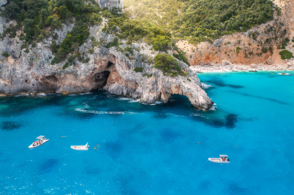
Length: about 7 km round trip. Difficulty: moderate to challenging. Route type: out and back. Starting point: Su Porteddu parking lot, Golgo plateau, Baunei.
This is arguably the most photographed hike in Sardinia, and for good reason. The trail starts at the Su Porteddu parking lot on the Golgo plateau above Baunei and descends about 3.5 km to a beach with a natural rock arch and a tall limestone pinnacle. Going down takes roughly an hour, coming back up closer to ninety minutes since it is uphill the whole way.
Access to the cove is capped: you need to book your spot in advance through the Heart of Sardinia app, a rule the local authorities introduced to protect a beach that was declared a National Monument in the 1990s. There are no services at the beach itself, only a small kiosk near the parking lot. For the full picture, including tips beyond the hike itself, see our complete guide to Cala Goloritzé.
The nuragic village of Tiscali
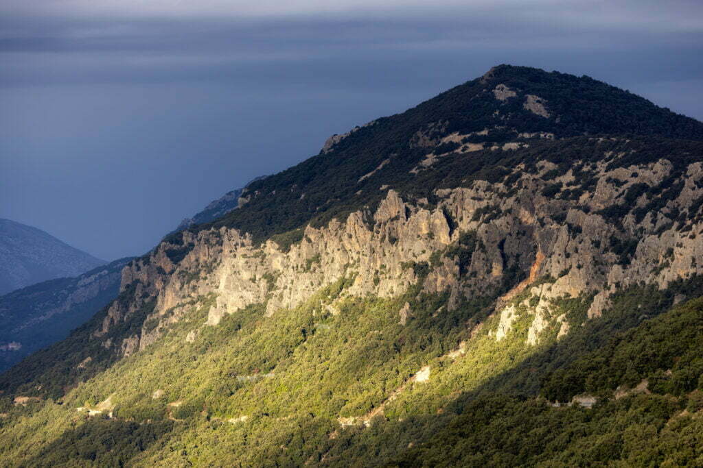
Length: about 6 km round trip from the Lanaitho valley. Difficulty: moderate. Route type: out and back. Starting point: Lanaitho valley, near Oliena or Dorgali.
Not far from Dorgali and Oliena, this trail climbs through oak forest to a cave hidden inside a mountain, where the remains of an ancient nuragic settlement still sit undisturbed. Dorgali itself is worth a stop before or after the hike, our guide to Dorgali covers the town in more depth. The nuraghi that once stood here date back to the Bronze Age, and the site’s isolation, reachable only on foot, is exactly why the ruins survived largely intact. The path is not always clearly marked, and rescue teams here are called out more often than on better signed routes, so a guide is a sensible choice if you are not an experienced hiker.
Cala Luna
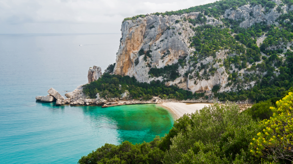
Length: about 14 km round trip. Difficulty: moderate to difficult. Route type: out and back, or one way with a return ferry in summer. Starting point: Cala Fuili, near Cala Gonone.
Starting from Cala Fuili, a short walk from Cala Gonone, this roughly 7 km trail (one way) follows the coast through forest and rock to Cala Luna, one of the most photographed beaches of the Gulf of Orosei. The terrain gets uneven after rain, and there is no water along the way, so bring what you need.
In summer, a ferry connects Cala Luna back to Cala Gonone for a small fee, which saves the return walk if you would rather spend the extra time on the beach. Our full guide to Cala Luna has more on the beach itself and how to combine it with a boat trip along the Golfo di Orosei.
Cala Mariolu
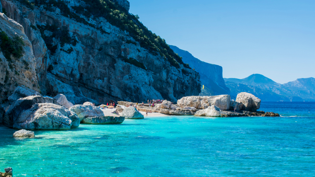
Length: varies by approach, generally 10 km or more round trip. Difficulty: challenging. Route type: out and back. Starting point: Golgo plateau area, Baunei.
Reached from the same general area as Cala Goloritzé, Cala Mariolu is considered one of the more demanding beach hikes in the Gulf of Orosei, both for the distance and the terrain, which includes loose scree in places. It rewards the effort with a beach of white pebbles and turquoise water that rarely gets crowded, precisely because it is hard to reach on foot. Many hikers combine it with a boat return from Cala Gonone or Santa Maria Navarrese rather than retracing the whole trail. See our guide to Cala Mariolu for the boat option in detail.
Best hikes in Northern Sardinia
The north trades canyons for granite coastlines and island nature reserves, the same landscapes we cover in our guide to Northern Sardinia.
Punta Giglio and Porto Conte
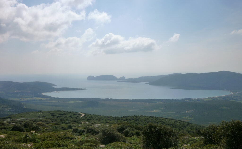
Length: 4 to 8 km depending on the route chosen. Difficulty: easy to moderate. Route type: out and back or loop. Starting point: Porto Conte Regional Park, near Alghero.
Porto Conte Regional Park, near Alghero, has five marked trails that all lead to Punta Giglio, a viewpoint over the bay. Our guide to Alghero covers the town and its coastline if you want to base yourself nearby. Trails here are well signposted and take around ninety minutes on average, with some routes winding past disused military installations rather than through pure nature, depending on which one you pick.
Asinara National Park
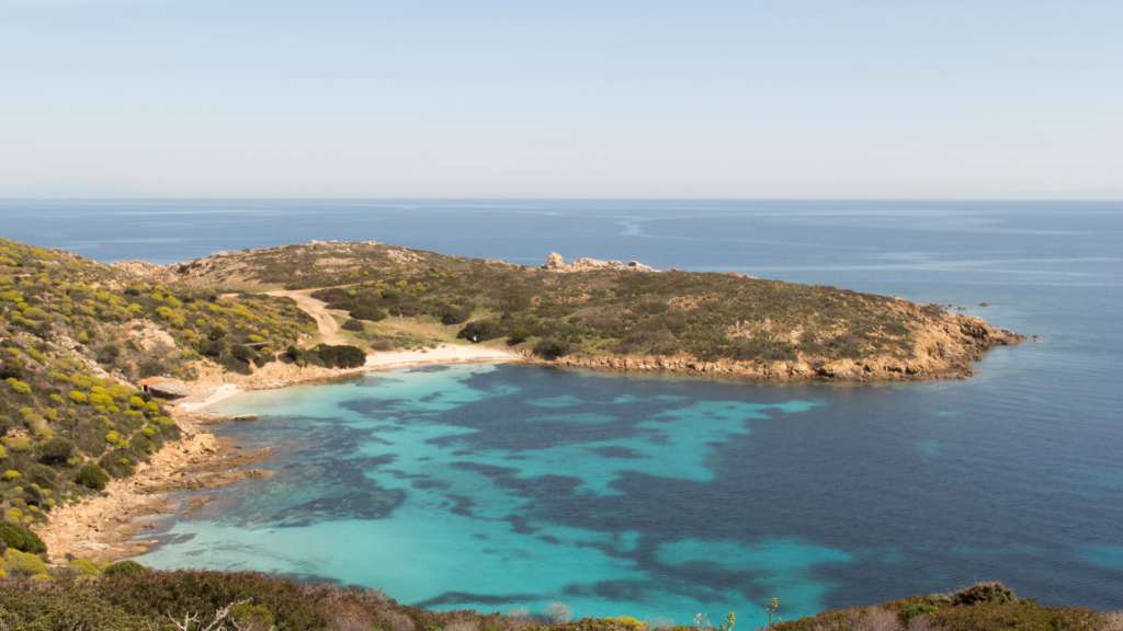
Length: from 3 km to 18 km depending on the trail chosen. Difficulty: easy to moderate. Route type: mostly out and back. Starting point: Fornelli or Cala d’Oliva, reached by ferry.
Off the northern tip of the island, Asinara is reachable by ferry from Porto Torres or Stintino. Once a prison island, it became a national park in 1997 and today only park rangers and a handful of hostel guests stay overnight. Wild donkeys, boars, and the native Sardinian deer roam freely, and hiking trails range from a short three kilometer walk to the Castellaccio ruins up to an 18 km coastal trek to the lighthouse at Cala d’Arena.
The White Donkey Trail and the Path of Memory, which passes several sites tied to the island’s history as a former high security prison, are two of the more interesting middle distance options if you only have a single day. Our complete guide to Asinara covers ferry schedules and where to stay on the island.
Capo Testa and the Moon Valley
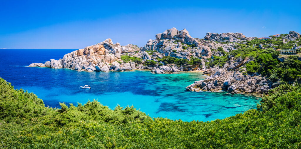
Length: about 6.5 km. Difficulty: moderately challenging. Route type: loop. Starting point: Capo Testa, near Santa Teresa di Gallura.
Near Santa Teresa di Gallura, Capo Testa’s granite formations earned the nickname Moon Valley decades ago, when the area briefly became a hideout for hippies, and before that it was quarried by the Romans for its stone. The loop trail here mixes beach access with panoramic views toward Corsica, passing the Spanish watchtower of Longosardo, and much of it is manageable for families, though a few sections require light scrambling over rocks. Bring proper footwear rather than sandals, the granite gets slippery near the water. For more on the town itself, see our guide to Santa Teresa di Gallura.
Long distance hikes in Sardinia
If a single day is not enough, Sardinia has three long routes worth knowing about. None of them are casual additions to a beach holiday. They require planning, the right season, and in most cases outside help with logistics, but they cover ground that day hikers never see.
Selvaggio Blu is widely considered the toughest trek in Italy: seven days, 45 km along the east coast from Pedra Longa to Porto Cuau, following old goat herder paths across cliffs and through forest, with some sections requiring rope work. It is not something to attempt without organizational support or a licensed guide, given the logistics of food, water, and navigation over multiple days.
Sentiero Sardegna is the island’s stretch of the Sentiero Italia, running from Santa Teresa di Gallura in the north to Castiadas in the south. Walking the whole thing takes at least three weeks, though most people pick a section rather than the entire route.
Cammino di Santa Barbara is a circular route of 386 km through the Sulcis Iglesiente region in the southwest, split into 24 stages of about 16 km each, mixing dirt roads with visits to old mining villages and archaeological sites along the way.
Things to do while hiking in Sardinia: guided tours and experiences
Several of the trails above are far easier, and safer, with a licensed local guide, especially the ones without a clear loop or with tricky navigation. Here are six guided experiences worth booking in advance.
Gorropu Canyon Guided Hike from Orosei or Dorgali
A full day trek into the canyon with a local guide, including pickup from Orosei or Dorgali and the chance to spot golden eagles and mouflons along the way.
Book the Gorropu Canyon Guided Hike
Cala Goloritzè Trekking Tour with a Guide
A guided descent to Cala Goloritzè from Baunei, useful if you would rather not navigate the booking system and the trail alone.
Book the Cala Goloritzè Trekking Tour
Hike to the Nuragic village of Tiscali
Pickup from Orosei, Dorgali, or Oliena, with a guide leading you through the oak forest and into the cave where the ancient village sits.
Porto Conte Natural Park Trek with Aperitif
A circular walk near Alghero through the Porto Conte park, with views of Capo Caccia and a local aperitif at the end.
Hike to the top of the Devil’s Saddle
A guided version of the Sella del Diavolo walk, with historical context on the area’s ancient and modern landmarks.
Hiking to Cala Coticcio with aperitif, Caprera
In the far north, this trail on the island of Caprera leads to Cala Coticcio, sometimes nicknamed the Sardinian Tahiti, with a local aperitif to finish.
Getting around: car rental for hiking in Sardinia
Most of the hikes above are not loops. That is the detail people underestimate most. You either need two cars, one at each trailhead, or you accept a long walk back the way you came, or you book a guided tour with transfer built in.
Given that trailheads are spread across the whole island, from Cagliari’s southern coast to Alghero in the northwest, a rental car makes independent hiking far more practical than relying on public transport, which barely reaches most of these starting points. Buses in Sardinia mostly connect towns to towns, not towns to trailheads, and the last stretch to a parking lot like Su Porteddu or Rifugio Gorroppu is often along a narrow secondary road with no service at all. For general planning advice, our travel tips for Sardinia covers getting around beyond hiking specifically.
If your itinerary includes any of the point to point trails, Cala Cipolla to Tuerredda or Masua to Cala Domestica, plan for either two vehicles or a guided tour with a transfer service built in. A single rental car works fine for every out and back trail on this list, which covers most of the shorter hikes in the south and center.
- Cagliari Airport: rent a car in Cagliari
- Olbia Airport: rent a car in Olbia
- Alghero Airport: rent a car in Alghero
- Anywhere else on the island: compare car rental options in Sardinia
Where to sleep near the trails
Since most of the Supramonte hikes cluster around Baunei, Dorgali, and Cala Gonone, basing yourself in that area for a few days makes far more sense than day tripping from Cagliari or Olbia.
- House Mare & Supramonte, Baunei, a self catering apartment with mountain and sea views, a practical base for the Golgo plateau hikes.
- Hotel Pranos Turismo Rurale, Cala Gonone, a rural hotel with pool close to the Cala Luna and Gorropu trailheads.
- Hotel Nettuno, Cala Gonone, a family run, budget friendly option about 200 meters from the sea.
If your plan focuses on the southern trails instead, staying in Cagliari keeps Sella del Diavolo, the Roman Road, and the Tuerredda coastal walk all within an hour’s drive. For more on where to stay in the capital, see our guide to things to do in Cagliari.
Essential gear for hiking in Sardinia
None of the trails above have regular water fountains, kiosks, or shade for long stretches, so what you carry matters more here than on a typical marked European trail network.
- Sturdy hiking shoes or boots with ankle support. Much of the terrain is loose limestone or granite, and sandals are not enough even on the shorter walks.
- More water than feels necessary. A liter per person for a two hour walk, two to three liters for anything past four hours in warmer months.
- Sun protection: hat, sunscreen, and sunglasses, since several trails, Gorropu and Tiscali included, offer very little tree cover.
- Layers for coastal trails, since wind picks up fast on exposed headlands like Capo Testa or Sella del Diavolo, even on a warm day.
- A downloaded offline map or GPS track. Phone signal drops out completely in canyons like Gorropu and in parts of the Supramonte interior.
- Cash in small denominations if you plan to pay entrance fees, such as the one at Gorropu canyon.
When to go hiking in Sardinia
Spring, roughly March through May, and early autumn, from September to late October, are the best windows. Temperatures stay manageable, the light lasts long enough for full day hikes, and the interior is still green after the winter rains.
Summer is not off limits, but it comes with a trade off. The trails that end at a beach, Cala Goloritzè, Cala Luna, Cala Mariolu, are genuinely worth the heat because you get to cool off at the finish line. Inland routes with little shade, like Gorropu or the climb to Tiscali, are far less pleasant in July and August, when temperatures regularly climb past 30 degrees with almost no shade.
Winter works for shorter, coastal walks like Sella del Diavolo, but daylight hours shrink fast, so longer routes become harder to fit into a single day.
The local perspective: what Sardinians think
We grow up walking these hills, and a few things become obvious once you have done it more than once.
The wind matters more than most visitors expect. The Maestrale from the northwest and the Scirocco from the south both hit exposed ridges and coastal cliffs hard, particularly around Capo Testa and the Selvaggio Blu route. On a still day at sea level, the wind at 300 meters can still knock you off balance, so checking the forecast before a coastal hike is not optional, it is basic preparation.
Water and shade are the two things that catch people out. Most inland trails, Gorropu included, have no fountains once you leave the car park, and August afternoons on exposed limestone can feel brutal even for locals. We plan around this: early starts, more water than seems necessary, and a genuine respect for how fast the heat builds after 11am in summer.
The other thing worth knowing is that many of Sardinia’s best hikes were never built for tourism. Selvaggio Blu follows paths shepherds used to move flocks along the coast, not a route designed for recreational walking, which is part of why it demands real preparation rather than enthusiasm alone. That pastoral history shows up elsewhere too. The mining trails around Masua and Nebida were cut by workers, not hikers, which explains why some sections feel more like access routes than paths. Entrance fees at places like Gorropu go toward maintaining the canyon and funding conservation, a detail that makes the small cost easier to accept once you understand where it goes.
Because so few trails form a loop, locals rarely hike solo on the longer ones. Two cars, a friend, or a guide with a transfer service is simply how it is done here, not an inconvenience to work around.
FAQ about hiking in Sardinia
What is the most famous or challenging trek in Sardinia?
Selvaggio Blu, a seven day, 45 km route along the east coast near Baunei, is widely regarded as the hardest trek in Italy, with cliffside sections and some rope work involved.
Are there easy hikes suitable for families?
Yes. Sella del Diavolo near Cagliari, the Roman Road to Su Cordolinu, and the trails around Is Cannoneris are all manageable with children, with shade, moderate distances, and well marked paths.
Can I hike to ancient archaeological sites?
Yes, the hike to the nuragic village of Tiscali, hidden inside a mountain cave near Dorgali, is one of the most rewarding options if you want nature and history in the same walk.
Do I need a car to go hiking in Sardinia?
In practice, yes, for almost every trail on this list. Public transport rarely reaches trailheads, and since most routes are not loops, a car, or a guided tour with transfer, is close to essential.
When is the best time to hike in Sardinia?
Spring and early autumn offer the most comfortable temperatures. Summer works well for hikes ending at a beach, and winter suits shorter coastal walks, though shorter daylight hours limit longer routes.
Is hiking in Sardinia safe?
Generally yes, provided you stick to marked trails, carry enough water, and check the weather before heading to exposed coastal routes. The trails that see the most rescue callouts, Tiscali and parts of Selvaggio Blu, are the ones where navigation is unclear rather than the ones that are simply long.
Do I need to book anything in advance?
For Cala Goloritzé, yes: access is capped and must be reserved through the Heart of Sardinia app before you arrive. For most other trails on this list, no booking is required unless you are joining a guided tour, though those are worth reserving a few days ahead in July and August.
What should I know before hiking in the interior?
The terrain in Central Sardinia can be very rugged. Always carry a map and check our travel tips for Sardinia for safety advice.
Sources: Sardegna Turismo (official tourism board of the Region of Sardinia), Comune di Baunei official tourism site, Asinara National Park official website, Heart of Sardinia booking platform.